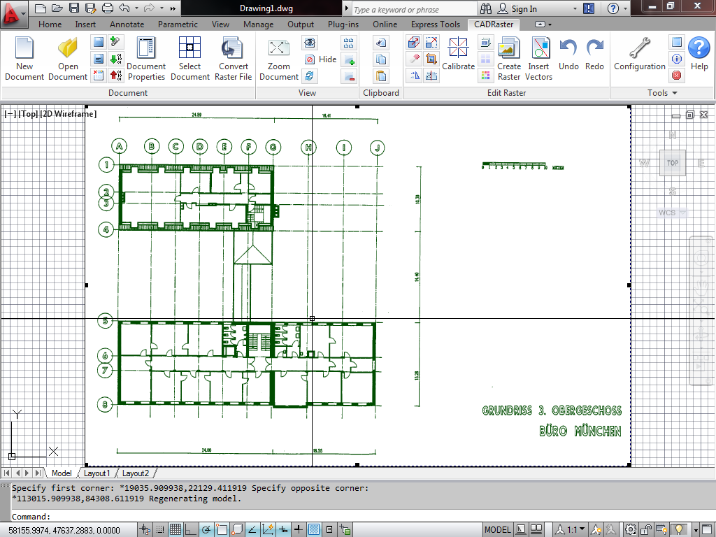
CADRaster is a hybrid raster-vector tool for drawings and scanned maps that can be used inside of AutoCAD environment. 

CADRaster provides tools for productive utilization of monochrome, gray-scale and color scanned drawings and other raster images in AutoCAD. The scanned drawings and pictures are shown on the AutoCAD screen together with vector drawings and processed using tools integrated with CAD application’s commands.

CADRaster provides tools for productive utilization of monochrome, gray-scale and color scanned drawings and other raster images in AutoCAD.

The scanned drawings and pictures are shown on the AutoCAD screen together with vector drawings and processed using tools integrated with CAD application’s commands.

Raster and vector data coexist in the AutoCAD session and are well defined in the same coordinate system, so that operations like zooming, panning and matching of raster images and vector drawings may be done easily and precisely.

CADRaster is an excellent tool to correct any defect introduced by source material or scanning process. After that, you can use scanned images as background to new designs, vectorize image contents or modify image to bring the document up to date.

Any Drawing Size

Work fast on any size of the drawing
CADRaster can easily handle scanned TIFF drawings and other formats ranging from A4 to A0+

Calibration

Distorted drawings can be esily fixed
Multi-point calibration, noise removal and other tools will help to bring any drawing to life.

Measure

Measure distance and area
CADRaster will enable you to parametrize your scanned drawings and perform needed measurements

Print

Print composite drawings
CADRaster can easily print composite (vector + raster) drawings in proper scale.

Basic functions common to LTX and PRO versions

  • fully integrated and transparent zooming and panning of the composite background and DWG foreground using standard AutoCAD Zoom Pan and View commands
  • hybrid printing of the composite background and DWG foreground drawings using the standard AutoCAD Plot command
  • raster editing commands for monochrome raster images
  • include move, crop, clear rectangle and polygon align, rotate and resize independently in X and Y directions
  • magnifying glass and selective snap to raster that recognizes centerline
  • corner, intersection, line end, edge of raster area and circular cadastral marks
  • multiple UNDO/REDO of raster editing operations file
  • management functions to handle composite documents on the main document and subdocument levels: open, close, add, delete, save, save as, copy to, convert

Premium features available only in PRO versions

  • Editing color images
  • multi-point calibration with full graphical and numerical session control
  • mixing selective raster snaps and AutoCAD osnaps inside CADRaster and AutoCAD commands
  • cut/copy/paste editing of raster images using familiar AutoCAD block style
  • inserting vectors to raster backgrounds and rasterizing complete DWG drawings
  • super-easy 2..4 point Match interface for simpler calibration jobs
  • interactive raster trace function giving optimized polylines with automatic line width recognition
  • editing of image transparency information,
  • displaying geographical coordinates
  • transparent printing of AutoCAD solids on raster backgrounds using standard Windows printers and plotters
  • raster split function to convert very large raster images to manageable composite documents

Deformed scanned drawing or map?

TSL Calibrator is here to help!